Welcome UCSF Students, Faculty, and Researchers
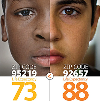
In Health Care, Geography is Destiny
Dartmouth Atlas of Health Care, 1998, 21
 How is it that two people born only miles apart can expect such different health outcomes?
Where we are born and/or live influences the lens through which we see the world. The issues we uncover can be linked to the environment we create and then impose upon those who live there.
The environment in which our patients live and work may expose them to harmful toxins, while social factors may dictate a patient's behavior-- responding to the lack of safe places, access to healhty food choices, or high exposure to tabacco advertisements.
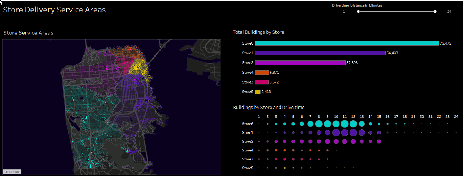
Here at UCSF, researchers have access to powerful GIS software to investigate exposure and social determinants, and whether they may be an indicator of a more general public health issue.
The information below is a guide to utilizing geospatial resources for your classroom or research projects. If you have any questions after reviewing the information below (and subpages) then please use the Geospatial Support request form.
Software
Esri (ArcGIS Desktop, ArcGIS Pro, ArcGIS Online, and more)
Geojson.io
Google Earth Engine
QGIS
Request an Account
Researchers, faculty, and students must use the Geospatial Support Request form to request access to the UCSF Enterprise GIS systems.
Please select the following values in the form menu:
- Service Category: Software Licensing & Account Requests
- Vendor: Esri (ArcGIS)
- Request Type: New User: Request a new License/ArcGIS Online Account
- Primary Use: [choose the appropriate primary use option]
- Products: ArcGIS Online (cloud-based) is required, and if necessary ArcGIS Pro Desktop, which also requires ArcGIS Online
- Summary: Provide a short summary of the project(s) the software will be used for AND what features of the software you will be using.
Users will receive an email when their account is ready to be created. All UCSF GIS systems use Single Sign-On via MyAccess.
Training, Learning, and Community
Support
GIS for ARS/MyResearch
Contracting with Vendors to Build Online Maps?
Collaboration with ArcGIS Online and Affiliates, or Other Universities
 If your department or program is exploring a project to develop online maps then please consider requesting a brief consultation from Geospatial@UCSF to review your requirements and scope before working with a vendor.